

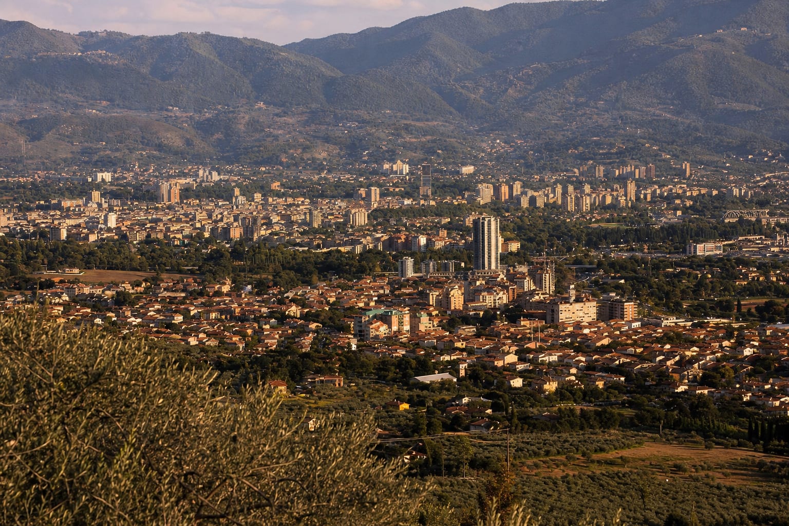
Umbria's industrial south claims Saint Valentine as its patron and reputed native son.
Just outside the city, the Cascata delle Marmore plunges 165 metres in a triple cascade, a thundering waterfall engineered by the ancient Romans and released on a schedule.
When to visit Terni
Average highs and lows across the year.
What to see first
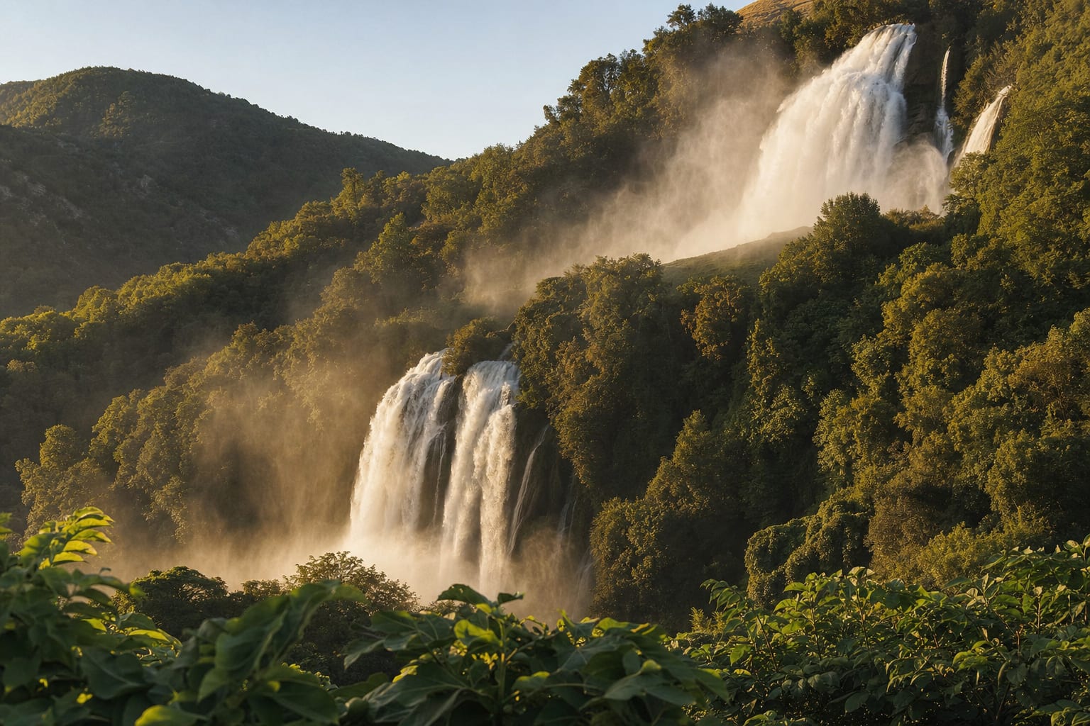
Marmore Falls
The Romans' 165-meter man-made waterfall near Terni, released on a schedule tied to hydroelectric power.
Read the guide
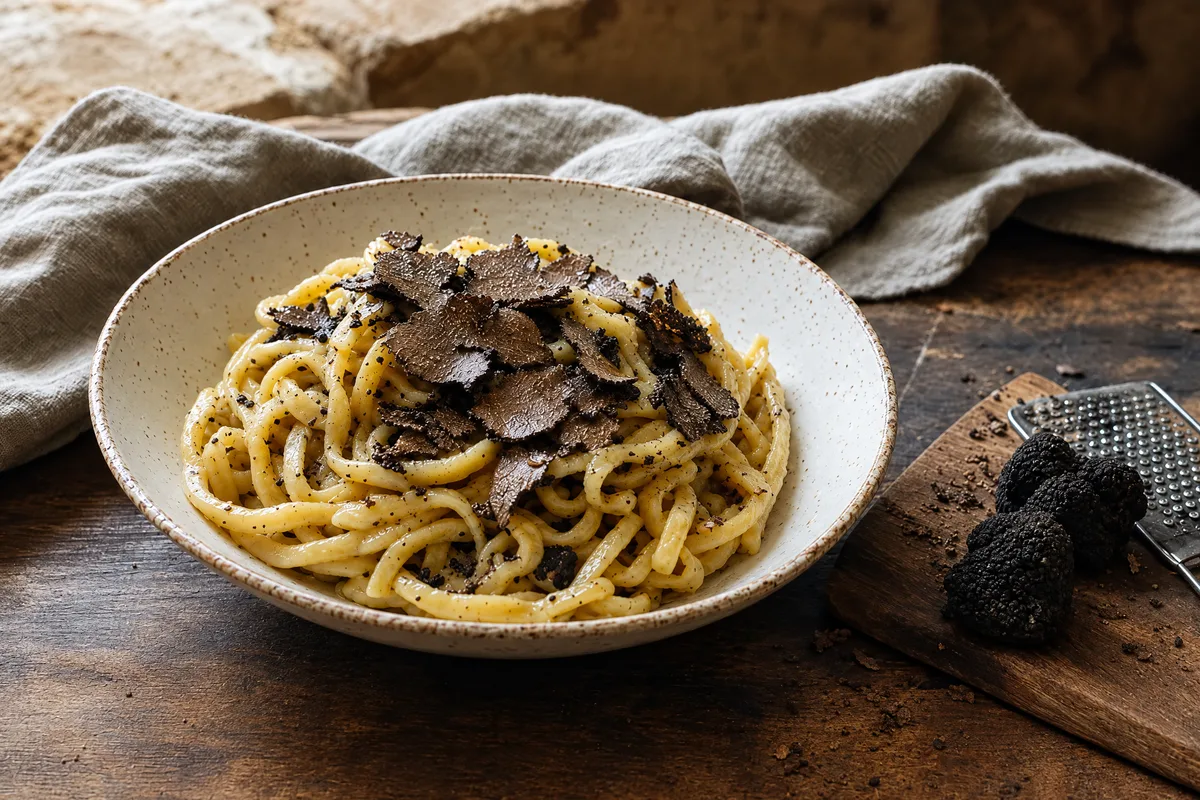

Eating and drinking in Terni
Well-loved everyday tables and Michelin stars, each checked open.
- Pizzeria Maturo LabPizzeria
- UmamiOsteria
- MeGustaTrattoria
- La Locanda Del Poggio Di Chillo CarmeloOsteria
- Trattoria LilleroTrattoria
- Oste Della Mal'OraTrattoria
Sleeping in Terni
Well-reviewed places to stay, each checked open, by town.
- Residence Viviverde
- B&B Villa Maria
- Domus Umbra
- The farmhouse of Waterfall
- Il Pozzo Country House
- B&B Il Giardino Di Venere Bed and Breakfast Terni
Food: one protected name, exact boundaries
The specification also supplies exact physical geometry: circular form, flat base, convex surface, diameter from 1 to 20 centimetres, height from 1 to 10 centimetres, weight from 25 grams to 1 kilogram, and moisture from 7.5 to 25 percent. These ranges define compliant product variation; one bakery's preferred size is not the denomination's universal form.
The geographic rule is equally important. Production covers the entire Province of Terni plus Massa Martana, Marsciano, Todi, Fratta Todina, Monte Castello di Vibio, and Deruta in the Province of Perugia. It is broader than Terni municipality and narrower than all Umbria. A producer, bakery, recipe, seasonal tradition, retail listing, and certified IGP product require different evidence. No generic Umbrian dish should be added merely to fill a Terni food module.
One municipality, several settlement systems
Terni is not only its centre and not every place-name describes the same administrative unit. The 2021 Istat locality dataset returns 45 records inside municipality 055032: 17 population centres, 25 inhabited nuclei, two productive localities, and the residual category of scattered houses. The centres are Porzano, Giuncano Scalo, Battiferro, Cesi, Collestatte Piano, Piediluco, San Carlo, Torreorsina, Cecalocco, Rocca San Zenone, Papigno, Collestatte, Marmore, Miranda, Poggio Lavarino, San Liberatore, and Terni. The nuclei are Pietrara, I Quadri, Carone, Larviano, La Romita, Contea, Porcivalle, Pracchia, Piedimonte, Colle Sant'Angelo, Noceta, Perticara, Polenaco, Campomaggiore, Appecano, Fontana di Polo, Acquapalombo, Collelicino, Piedimonte II, Poggio Azzuano, Vallemicero, Colle Giacone, Porcivalle-San Giacomo, Maratta Alta, and Costanzoni. Localita Produttiva Papigno and Pantano are the two productive-locality records. These are statistical classes, not a ready-made visitor taxonomy.
The municipal Civil Protection Plan supplies a second, operational geography. Its 30-row population table at 30 September 2024 assigns 101,710 residents to Terni Centro, a broad operational unit that expressly includes central districts plus Borgo Rivo, Campitello, Gabelleta, Polymer, and Villaggio Pallotta, then names 29 other settlements. That list includes Collescipoli, which the Istat locality extract above does not return as a population centre, and uses Apecano and Giuncano where Istat uses Appecano and Giuncano Scalo. These are not errors to silently normalize. They are evidence that statistical, emergency-planning, historical, postal, and editorial settlement systems serve different purposes.
More of Umbria
A letter from Italy, once a month.
The places, tables and makers we found worth your time. One email, no noise.
One letter a month. Unsubscribe at any time. We never share your address.