

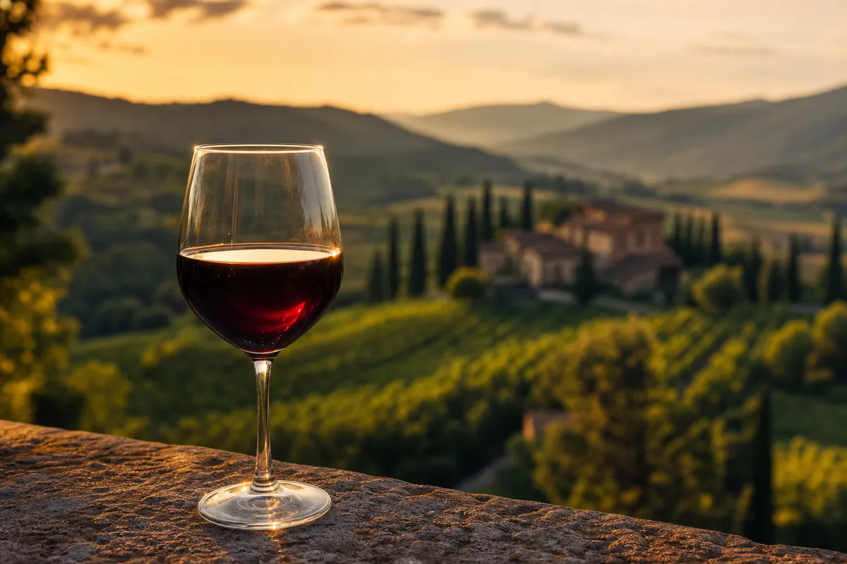
Terra, Santa Maria and the valley floor
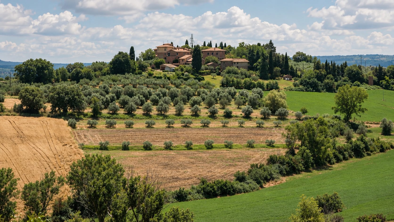
The historic capoluogo is best understood through two named nuclei. Terra occupies the upper fortified core. Santa Maria developed beyond the oldest castle enclosure around the church of Santa Maria Assunta. More recent development extends on the valley floor. The distinction is useful for orientation, but Terra and Santa Maria should not be presented as separate municipalities or assigned invented boundaries.
Terra preserves castle and wall fabric. Porta San Giovanni provides a physical and narrative transition toward Santa Maria. Regional interpretation also identifies circular bastions, a civic tower known as the Torre degli olivi and a communal bell tower. Each gate, tower, bastion and wall segment still needs an exact identity, point, ownership, condition and access record. A romantic fortified silhouette does not prove that every structure can be entered.
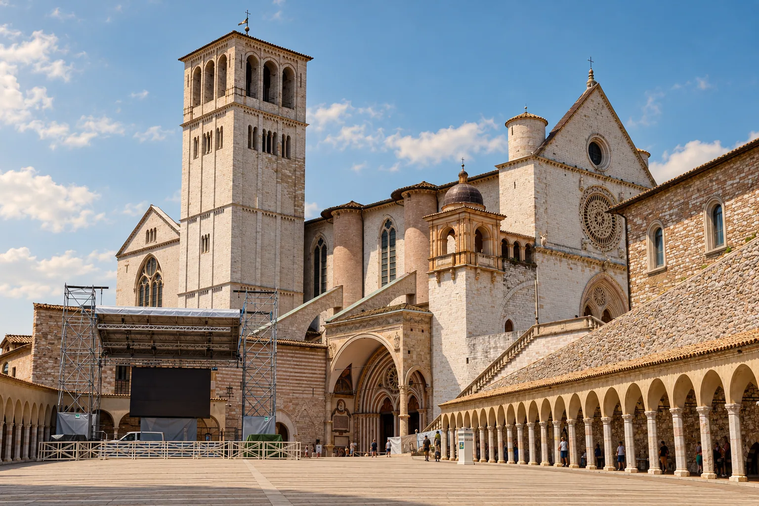
Santa Maria Assunta is a building and an artwork network
The Comune says Santa Maria Assunta was built from 1504 to 1510 by Lombard masters on municipal commission. Regional interpretation describes a facade with three portals, including a central portal dated 1493, and an interior of three naves ending in three apses. The resulting chronology is not necessarily contradictory: the portal can predate the principal building campaign, but that relationship should be explained rather than flattened.
The central apse carries the strongest precisely catalogued ensemble. ICCD identifies the Stories from the Life of the Virgin as a 1516 fresco by Vincenzo Tamagni with Giovanni Brunotti attributed. Its subjects include the Coronation, Dormitio and Adoration of the Shepherds. This record gives a strong object identity, but current condition, public visibility, photography and custody still need confirmation.
Another work shows why attribution language must remain exact. ICCD's record for the Baptism of Christ, catalogue number 1000004534, preserves competing associations with Vincenzo Tamagni, Jacopo Siculo and a follower of Federico Zuccari. None should be promoted as the definitive author without a current catalogue decision.
The Nera landscape has legal and geographic boundaries
Arrone lies within the Nera River Regional Park. Two current official-facing summaries disagree on its scale: Regione Umbria gives 2,120 hectares, while Parks.it gives 2,460 hectares. The municipality's park relationship is sound, but an exact area and municipality list should wait for controlling legal geometry rather than choosing the more convenient number.
The regional register also lists Arrone among the municipalities intersected by Natura 2000 ZPS IT5220025, Bassa Valnerina: Monte Fionchi - Cascata delle Marmore. An intersection does not mean that the entire municipality is protected, that every path is public or that every activity is allowed. The site boundary, management measures, seasonal restrictions and lawful access need spatial review before they are mapped.
The Nera supplies Arrone's river setting and connects the valley's stories. Marmore waterfall, however, is a Terni destination where the Velino falls into the Nera, and Piediluco lake is also presented by the Comune di Terni. Their proximity makes them useful neighboring context, not Arrone monuments. The same rule applies to mountain names: a view or route can cross several administrative and protected-area boundaries.
Walking and cycling need a live safety layer
The official Via di Francesco stage from Arrone to Ceselli starts at Santa Maria Assunta. It is published as 15.14 kilometres, with 169 metres of ascent, 130 metres of descent, mixed asphalt and unpaved surfaces and a time of five hours. Those figures describe the published route, not today's surface, shade, water, signage or closure status.
Wildlife information also needs calm, current language. A municipal order dated 13 July 2026 records repeated wolf observations near inhabited and public areas and prohibits leaving food on public or publicly accessible land. It does not justify sensational framing. Visitors should follow current municipal, park and emergency guidance, carry out food and waste and treat every route as a separate risk decision.
Food should follow the territory, not a slogan
The national specification for Umbria DOP olive oil explicitly includes Arrone in the Colli Assisi Spoleto production area. That supports a meaningful olive-oil geography. It does not certify every grove, mill, bottle, restaurant oil or tasting in the municipality. Any producer or product claim needs certification and current operator evidence.
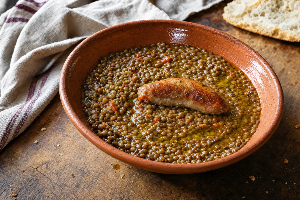
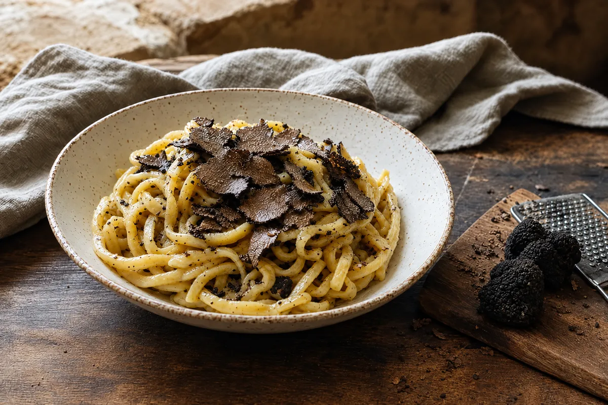
Municipal and park-facing pages associate Arrone with olive oil, truffles, river foods and broader Umbrian cooking. These are themes for reporting, not proof of an Arrone-exclusive dish or protected name. River fish requires especially careful wording around origin, lawful supply and contemporary availability. Restaurant menus are not permanent cultural inventories.
The municipal food directory lists twelve business leads, but it was not treated as a current operating register. Production has no exact Arrone place, brand or company relationship. Every restaurant, shop, lodging and outdoor operator therefore needs direct identity, municipality, duplicate, operation, accessibility and media checks before listing. No inclusion should imply endorsement.
Events, bells and association labels
The municipal annual list identifies traditions such as La Befana vien dal fiume, Terra in fiore, the May floats, Madonna dello Scoglio, San Giovanni Battista and the living nativity. Separate regional pages confirm dated 2026 editions for the mining weekend, Madonna dello Scoglio and the San Giovanni programme, the latter running from 16 to 27 June. Those pages document past or current editions only. Future dates, organizers, routes, closures and accessibility require a fresh edition record.
Arrone also participates in a living cultural practice with an exact international boundary. In 2024 UNESCO extended Spain's 2022 inscription of Manual bell ringing to Italy, producing the current Spain-and-Italy element on the Representative List of the Intangible Cultural Heritage of Humanity. The Italian ICCD inventory names the Gruppo campanari di Arrone among the representative groups. This is recognition of a community practice, not a World Heritage designation for the town or its bell tower.
The current Umbria page of I Borghi più Belli d'Italia includes Arrone. Membership is a current association fact, not legal heritage protection, a quality guarantee for every business or a substitute for evidence about individual monuments.
A responsible first visit
A coherent first visit begins in the capoluogo by reading Terra and Santa Maria as two layers of one municipal centre. When access is confirmed, San Giovanni explains the fortified upper nucleus and its contested fresco history, while Santa Maria opens a more complex sixteenth-century artwork network. Casteldilago, Madonna dello Scoglio and Buonacquisto are separate excursions with different road, path and access questions. A walk on the Via di Francesco or a ride on the Nera cycleway should be planned as its own safety decision, not added casually to a church visit.
No reviewed source clears a documentary launch image. Municipal text is generally offered under CC BY 4.0 unless otherwise stated. Umbriatourism defaults to CC BY-NC 4.0 and excludes third-party assets from blanket reuse. Every photograph requires asset-level provenance, creator, license and any necessary property or model permissions. AI imagery may illustrate a clearly labelled concept, but it must never pretend to document a church interior, artwork, route condition, event or protected habitat.
More of Umbria
A letter from Italy, once a month.
The places, tables and makers we found worth your time. One email, no noise.
One letter a month. Unsubscribe at any time. We never share your address.