Populonia’s ancient city spreads across the wooded promontory of Piombino, above the Gulf of Baratti.
At Baratti, the visit moves between two parts of an ancient city shaped by different uses of the promontory. On the low ground beside the gulf, San Cerbone’s tumuli and aedicula tombs share the landscape with quarries and industrial quarters where hematite from Elba was worked into iron. Higher on the wooded slopes, the Via delle Cave leads to chamber tombs cut into the rock. Across the headland, Populonia’s Acropolis layers traces of an early Etruscan settlement with Roman temples, a paved sacred road, a mosaic-floored domus and the terrace of the Logge. The gulf is more than a view behind the ruins: sea routes, ore and local stone help explain why burial, industry and settlement met here. Read together, the separate areas make an ancient city visible across its terrain.
One landscape, two zones
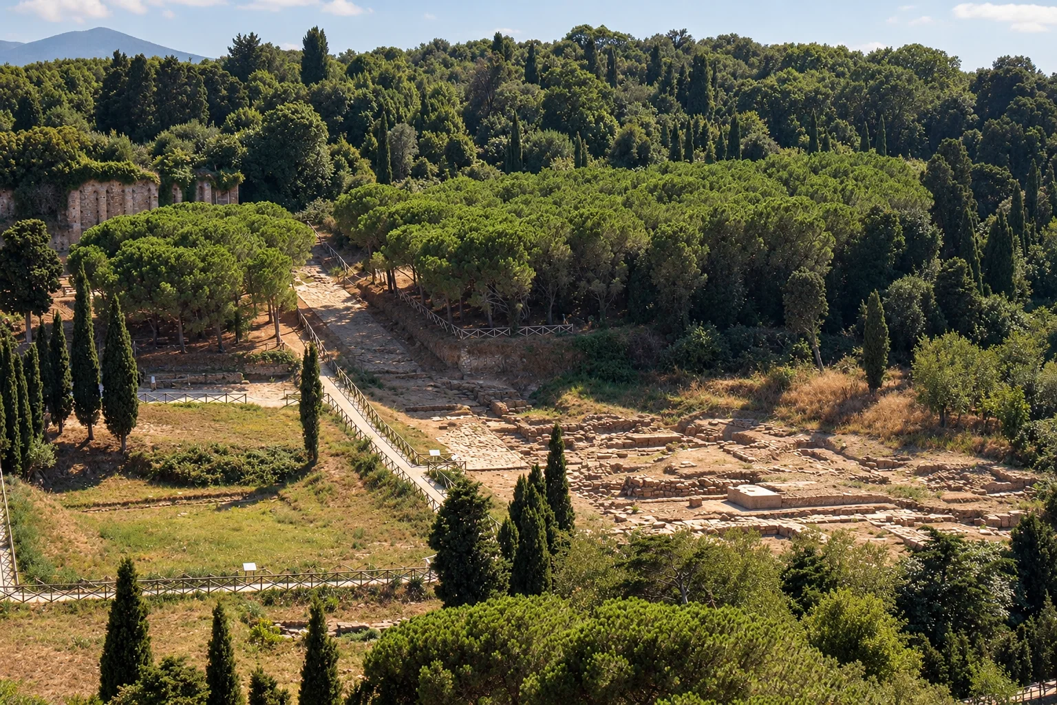
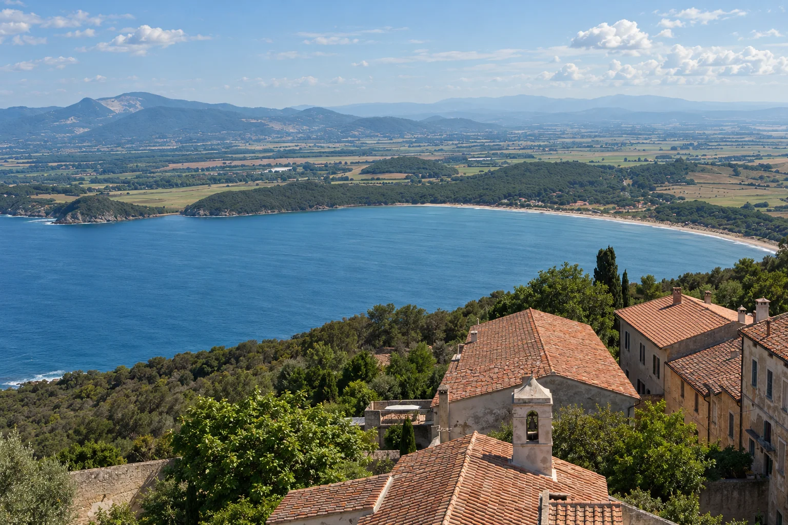
The Archaeological Park of Baratti and Populonia stretches between the slopes of the Piombino promontory and the Gulf of Baratti. It is an archaeological landscape that holds the Etruscan and Roman city of Populonia.1
The city divides into two linked zones. The lower city, outside the wall circuit, was organized around the port, metalworking and Etruscan cemeteries, while the Acropolis on the promontory held dwellings and temples.2
Iron, Elba and the Tyrrhenian routes
From the Iron Age, in the ninth century BCE, Populonia sat at a meeting point of the Tyrrhenian sea routes linking Sardinia and Corsica with Etruria, close to the mineral deposits of the Campigliese.2
Between the sixth and fourth centuries BCE, it was the principal Mediterranean center for working hematite, the iron ore of nearby Elba. In the lower park, two Etruscan necropoleis, calcarenite quarries and industrial quarters where Elban ore was worked into iron ingots share the same ground.2,1
Tombs that change with the centuries
Near the gulf, the visible cemetery landscape dates from the seventh to the fifth centuries BCE and includes monumental tumuli, aedicula tombs and sarcophagus burials. The Necropolis of the Grotte is later: it occupies wooded slopes above the gulf, was used in the fourth and third centuries BCE, after the San Cerbone area had taken on an industrial role, and has rock-cut chamber tombs.2,3
San Cerbone shows a range of Etruscan tomb types, from princely tumuli to later cassone and sarcophagus burials, among them the Tomb of the Chariots and the Tomb of the Bronze Offerer. At the Grotte, the chamber tombs sit beside quarry fronts of local sandstone, the pietra panchina that also built San Cerbone tombs and Acropolis structures.3
The Acropolis, Etruscan then Roman
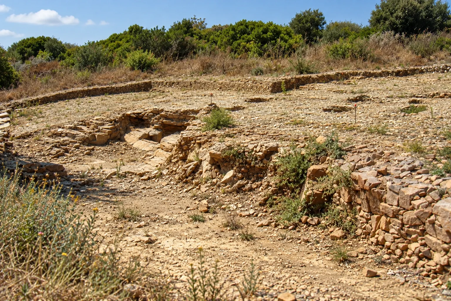
On the summit, the Acropolis preserves traces of the first Etruscan settlement and its sea-facing wall, together with sacred buildings, roads, mosaics and other structures of the Roman period.1
The Roman-period remains include temples, a large domus, the Edificio delle Logge, a nymphaeum and a bathhouse, while earlier Etruscan hut foundations and defensive walls overlook the gulf. The setting mixes Mediterranean scrubland with coastal cliffs.1
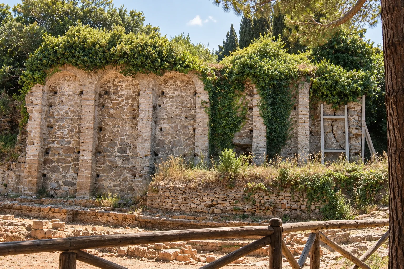
The Edificio delle Logge is a majestic terrace that formed the base for other grand rooms, set along a paved Via Sacra leading to a large domus with mosaic floors. Temples overlook a central square, and the first Etruscan settlement is recalled by reconstructed huts of perishable materials on the headland, called the Casa del Re.4
The baths on the Logge terrace are one of the oldest and best-preserved thermal buildings found in Etruria, probably built around 100 BCE and covering about 150 square meters. They had an unheated entrance hall, a cold-water basin, a small domed sweat room and a heated caldarium with niches and a communal pool. The collapsed upper room of the Logge yielded relief stucco and plaster imitating polychrome marbles, and a marble-inlaid mosaic floor now shown in the Populonia museum.5
By the second century BCE, Populonia lay within Rome’s political orbit. Its Acropolis was redesigned with three temples, a sacred street and the terraced Edificio delle Logge, decorated with mosaics. Strabo described the town as almost deserted, with temples and a few dwellings, while the port settlement was better inhabited.2,6
Shoreline, road and monastery
Excavation along the Baratti shoreline records activity around the road linking the lower city to the inland Via Aurelia in the second and third centuries CE and again in the fourth to sixth centuries CE.2
In the eleventh century a Benedictine monastery dedicated to San Quirico was founded at Populonia.2
From slag heaps to archaeological park
Modern discovery is part of the story. The ancient iron slag that had piled up around the Gulf of Baratti buried Etruscan necropoleis, and its recovery led researchers to ancient Populonia. The park opened in 1998, after a long history of research and recovery.2
The museum in Piombino
The Archaeological Museum of the Territory of Populonia, in Piombino, displays the Acropolis fish mosaic, and an interactive display there tells the story of the Tomb of the Chariots.7
Highlights include the Roman Fish Mosaic, which shows a shipwreck scene and comes from the Acropolis complex probably dedicated to Venus, and the silver amphora, a late antique masterpiece found in 1968 in the sea between the Gulf of Baratti and San Vincenzo. The Tomb of the Chariots, a monumental Etruscan tumulus of the seventh century BCE, can be visited in the park itself.7,2
The collection runs from the Paleolithic to late antiquity with an emphasis on Etruscan and Roman material, and its displays stress the bond between people, resources and landscape, above all ancient mining and metalworking.7
Sources and citations (13)
- Parchi della Val di CorniaParco Archeologico di Baratti e PopuloniaPark identity and geographic extentRead source
- Parchi della Val di CorniaStoria del Parco Archeologico di Baratti e PopuloniaStoria del Territorio di PopuloniaRead source
- Parchi della Val di CorniaL'area delle NecropoliNecropoli delle GrotteRead source
- Parchi della Val di CorniaThe Acropolis of PopuloniaAcropolis page, structuresRead source
- Parchi della Val di CorniaL'acropoli di Populonia in Val di Cornia: incredibili scoperte nelle ultime campagne di scavoTerme and Logge decoration sectionsRead source
- Strabo; Loeb translation hosted by LacusCurtiusStrabo, Geography V.2.6Book V, chapter 2, section 6, Loeb pages 353–355; Poplonium town and harbourRead source
- Parchi della Val di CorniaMuseo Archeologico del Territorio di Populonia: il percorso musealeMuseum route page: multisensory route, Tomba dei Carri visitabile al Parco; mosaico dei Pesci visibile nel museoRead source
- Parchi della Val di CorniaMobilità e parcheggi‘Parcheggio Baratti, Area delle Necropoli’ and ‘Parcheggio Populonia, Area Acropoli’.Read source
- Parchi della Val di CorniaServiziAccesso diversamente abili; seasonal connection; visitor service notes.Read source
- Parchi della Val di CorniaTrekking nel parcoVia del Ferro section; Via delle Cave; Via della Romanella.Read source
- Parchi della Val di CorniaAcropoli di PopuloniaVisit duration; Roman temples, Via Sacra, domus, Logge, nymphaeum, bath; Casa del Re and child route; ‘Da sapere prima della visita’.Read source
- Ministero della CulturaParco archeologico di Baratti e PopuloniaOfficial MiC place overview; ‘Descrizione’, ‘Punti di accesso al Parco’, ‘Servizi’.Read source
- Parchi della Val di CorniaOrari e tariffe‘Avviso importante’ for multilingua audio guides, last-entry constraints and monthly free Sundays; price table at lines 86–115 in the accessed rendering.Read source